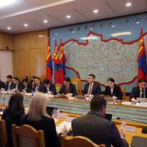
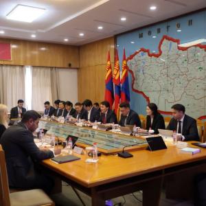
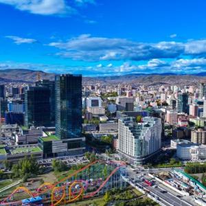
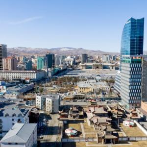
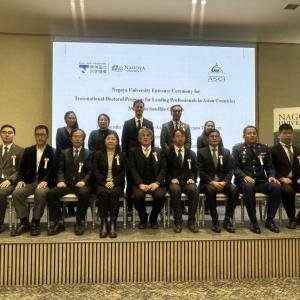
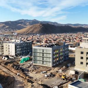
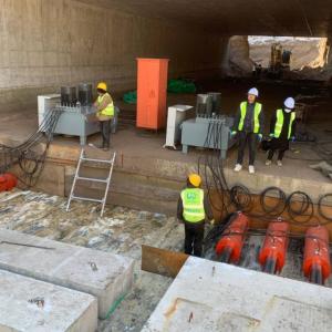
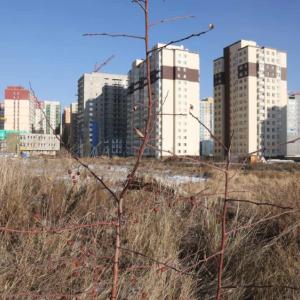
Ulaanbaatar


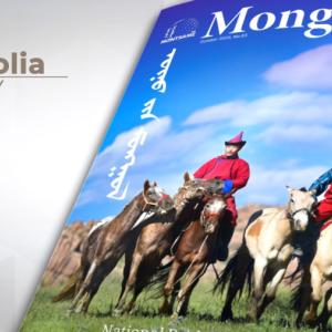
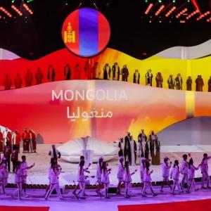
Mongolia
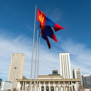
About MongoliaThe national flag

The National Flag shall be divided vertically into three equal parts colored red, blue and red. The three stripes, of identical width, shall be blue for the eternal sky in the middle, and red, the symbol of progress and prosperity, for the two stripes on either side. The Golden Soyombo shall be depicted in the centre of the red stripe nearest to the flag pole. The ratio of the width to length of the Flag shall be 1:2.
Soyombo

Since ancient times, the Soyombo ideogram has been the national emblem of freedom and independence of the Mongolians. At the top of the ideogram is a flame, which symbolizes blossoming, revival, upgrading and continuation of the family. The three prongs of the flame signify the prosperity of the people in the past, the present
and the future. Below the sign of the flame there are the sun and the crescent, traditionally symbolizing the origin of the Mongolian people. The combination of the flame, the sun and the crescent expresses the wish: May the Mongolian people live and prosper. The triangles at the top and bottom of the Soyombo are a general expression of the people’s willingness to defend the freedom and independence of the country, while the rectangles are the symbols of honesty, justice and nobility. The fish, in Mongolian folklore, is a creature that never closes its eyes, i.e. remains vigilant. The two fish in the emblem symbolize the unity of the people: men and women. The cumulative meaning is: May the whole people be united, wise and vigilant. The two vertical rectangles on the sides of the emblem signify fortress
walls and are a graphic representation of the ancient Mongolian saying: “Two men in friendship are stronger than walls of stone”. In the Soyombo they have the meaning: “May the whole people be unified in friendship, and then it will be stronger than the stone walls of a fortress”.
The national emblem
 The National emblem shall be based on the white lotus of purity. The outer frame shall be the “Tumen Nasan” of eternity in the shape of a blue sphere symbolizing the eternal sky. In the centre shall be a combination of the Golden Soyombo and the Treasured Steed, an expression of the independence, sovereignty and spirit of Mongolia. In the upper part shall be placed the Chandmani which grants wishes and symbolizes the past, present and future. In the lower part shall be a green background of mountains representing Mother Earth and the Wheel of Destiny. Mixed in with the Wheel of Destiny shall be a khadag - a scarf symbolizing welcome.
The national anthem of Mongolia
Words by Tsendiin Damdinsuren
Music by Bilegiin Damdinsuren, Luvsanjamts Murdorj
Adopted 2006 (lyrics), 1950 (music)
Our unwavering independent nation
All Mongols’ sacred hearth
Our great ancestors’ good deeds
Always stable, forever continue
With all honest nations of the world
Strengthen our bonds
With all our will and strength
Let’s develop our beloved Mongolia
Our great nation’s symbol blesses
The peoples’ fate supports
Our ancestry, culture and language
Let’s forever cherish and prosper
Bright peoples of brave Mongolia
Have freedom and happiness
Key to happiness, column for prosperity
Our great country prosper
Geography
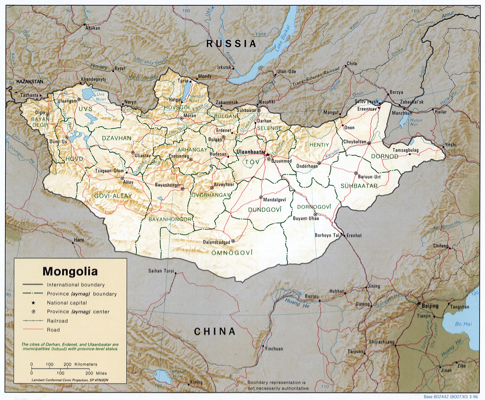 Mongolia is in central Asia and covers 1,564,100 sq km, between 87047’ and 119057’ east and 41035’ and 52006’ north. It shares a 3,485km border with Russia to the north and a 4,677km border with China to the south. From west to east, the country is 2,392km; from north to south it is 1,259km. The average altitude is 1,580 meters above sea-level, and Mongolia is one of 27 countries with no outlet to the sea. For many centuries, travelers have admired Mongolia for its clear sunny skies and the range of natural features, from high mountains and valleys, wide steppes, Gobi desert and semi-desert.
Topography

Mongolian topography consists of mountains, hummocks and high denudation plains, with three major regional stages. Erosive mountain relief and depressions of tectonic origin formed during the late Cretaceous and early Quaternary periods are numerous in the north. Erosion, tectonic depression and humps of folded mountains, lifted during the Cretaceous period’s fourth stage, occur frequently. Eighty per cent of all Mongolia is about 1,000 metres above sea level. Mongolia has most of the Mongol Altai Mountains, the Great Lakes Depression, mountains surrounding Lake Khuvsgul, the Khangai mountain range, the Orkhon-Selenge river basin, Khentii Mountain, Dornod Steppe and Great Khyangan mountain eastwards. The Mongol Altai Mountains in the west run for 600-650km, with thin hills, hollows and precipitous crags of over 4,000 metres. The Khuiten peak of the Altai Tavan Bogd mountain is the highest point in the country, at 4,374 metres. There are glaciers in the heights of the Mongol Altai, and the humps and hollows of the ice-age period remain in Khuvsgul, Khangai, Khentii and the Altai mountains.
The Great Lakes Depression is in the east of the Mongol Altai and has a few hollows with big lakes. Lake Khuvsgul is like Lake Baigali, formed in cracks between mountains, running along the Khuvsgul and Darkhad Depressions. Lake Khuvsgul was formed in the Khuvsgul Depression and lake-origin steppe, and small lakes and river valleys predominate in the Darkhad Depression. The Khuvsgul mountains are in the north of the Khangai mountain range, formed by Lakes Ulaan Taiga and Khoridol Saridag, lifted 3,491 metres above sea level. A zone along the southward latitude separates the Khuvsgul Mountains. Rivers of the Tes basin and the River Delger of the Selenge basin flow from there westard and eastward. This zone was called 1905 splitting zone since a strong earthquake in 1905. A wide range of the Khangai mountains is in the centre of Mongolia. From the zone, the Bulnai, Tarvagatai and Buren mountain range continues from the Khangai range and Khangai mountain is in the splitting zone. The highest peak of the Khangai range is Otgontenger mountain, in the west of the range, at 4,021 metres, with a small glacier on top.
 There are four well-defined seasons, and on average, the sun shines for well over 200 days a year. The climate is harsh continental with low precipitation. The temperature varies greatly within the year and also diurnally. The last 60 years of meteorological observation show an annual average temperatures of 8.5C in the Gobi and -7.8C in the mountains. The extreme minimum temperature is between minus 31.1C and minus 52.9C in January. The extreme maximum temperature is between plus 28C and plus 43.1C in July. Annual precipitation is low, averaging 200-220mmm, ranging from under 50mm in the extreme south (Gobi desert) to 400mm in limited areas in the north. Most precipitation occurs in June, July and August, and the driest months are November to March. There has been more temperature increase in May and September, but little change in April. The summer temperature drop has been mainly in June and July. Temperature changes have also been spatial. Winter warming has been more pronounced in the high mountains and valleys and less in the steppe and Gobi. There is a thawing of permafrost in 63 percent of Mongolia, which some claim is due to global warming. Half of the country has an average temperature of below freezing point. The length of time of snow covering has reduced, and soil erosion has increased in recent years. The number of days with dust storms has tripled over the last 40 years.