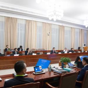
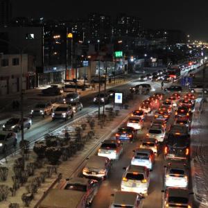
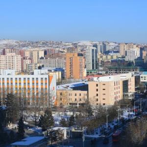
"Sustainable, Resilient, and Green Cities Project" to Be Implemented in Ulaanbaatar, Darkhan, and Erdenet
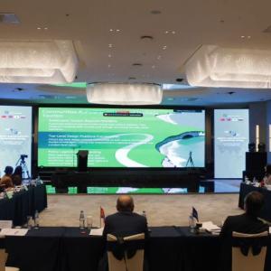
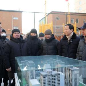
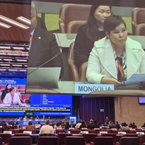
The United Nations “Sustainable, Resilient, Green City” project aimed at mitigating the negative impacts of climate change is planned to be implemented in Ulaanbaatar, Erdenet, and Darkhan cities of Mongolia. The project, developed by the United Nations and to be realized in 20 countries, is currently in the research phase. A meeting regarding preliminary discussion, environmental studies, and expected outcomes was held on January 8, 2025.
336 days


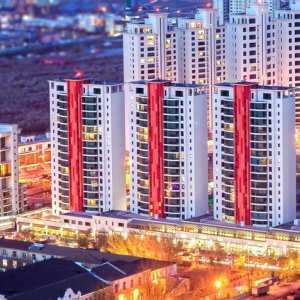
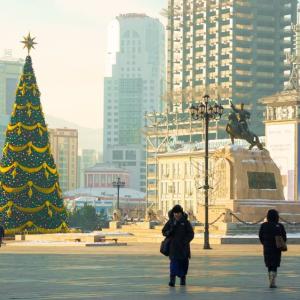
 Ulaanbaatar