Улаанбаатар
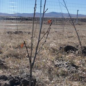
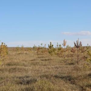
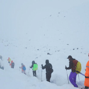
Pastureland Photo Monitoring to Be Improved Through International Cooperation
Environment
Ulaanbaatar, August 18, 2025
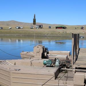
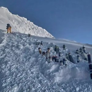
/MONTSAME/. Photo monitoring of pastureland is being improved through
cooperation with international organizations.
The General Authority for
Land Management, Geodesy, and Cartography (GALMGG) is implementing photo
monitoring of pasturelands with financial support from the Global Environment
Facility (GEF), the Food and Agriculture Organization of the United Nations
(FAO), and the World Wildlife Fund (WWF).
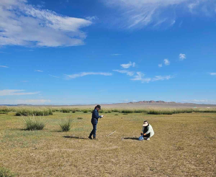
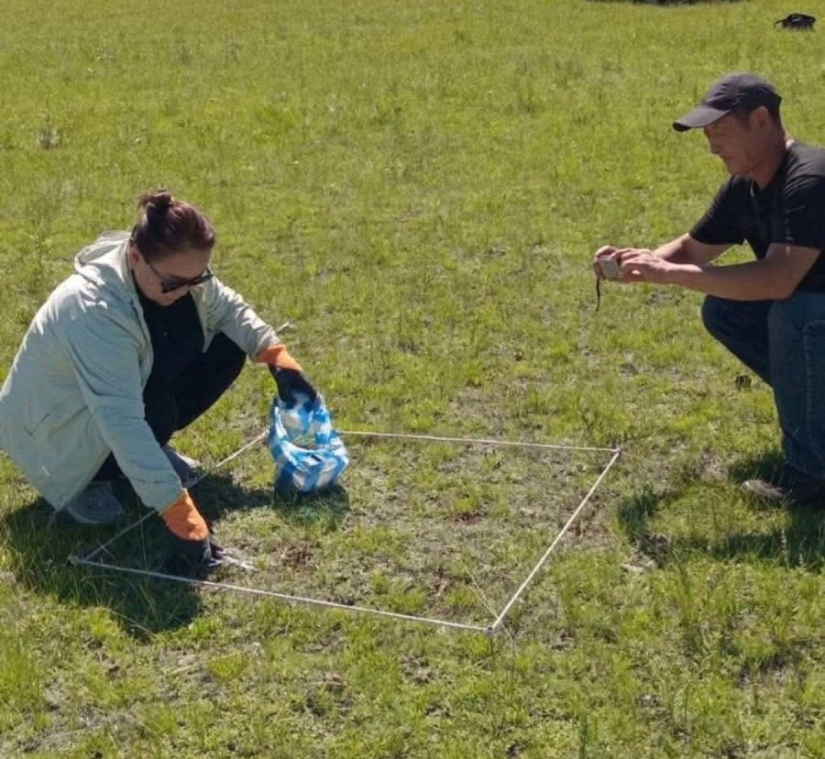
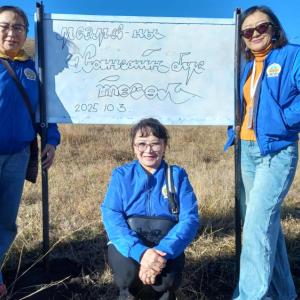
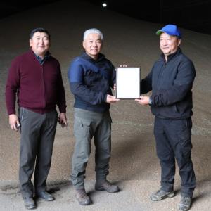
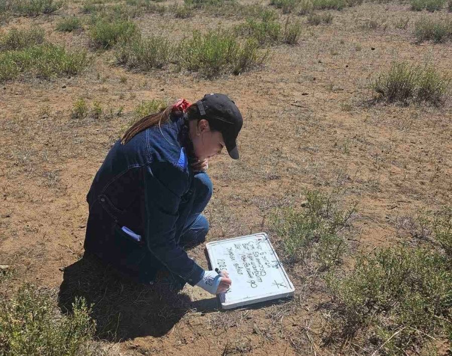
The endeavor aims to facilitate
faster and more effective photo monitoring field research in partnership with
the “Promoting Dryland Sustainable Landscapes and Biodiversity Conservation in
the Eastern Steppe of Mongolia” Project. Within this framework, the mobile application
“Belcheer” has been launched, and the necessary equipment and tools have been
provided to relevant professionals in certain aimags and soums.
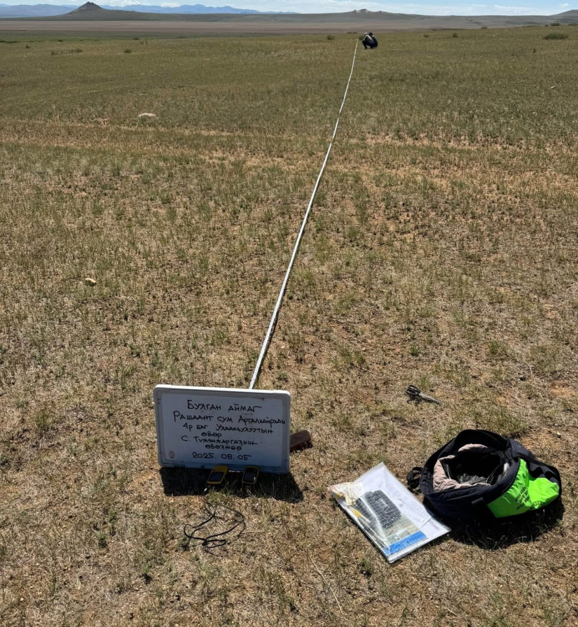
In addition, the “Guideline for Mapping Representative Areas of Pastureland Photo Monitoring Sites,” approved by Director of the GALMGG Enkhmanlai Anand, is being implemented, aiming to advance the photo monitoring database and effective data usage in pastureland management.