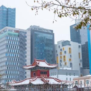
 Ulaanbaatar


Information on Service Facilities Along Highways to Be Integrated into Google Maps
Society

Ulaanbaatar, June 20, 2024
/MONTSAME/. The Ministry of Road and Transport Development of Mongolia in
collaboration with the I-Tech Company is working to integrate geographic information
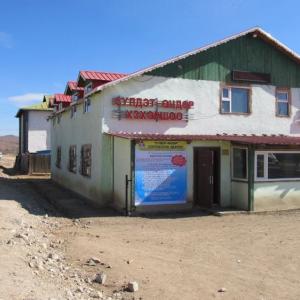
and operational hours for passenger transport stations, restaurants, auto
repair centers, pharmacies, and other service facilities along highways in
Mongolia into the Google Map system.
In the initial phase, the plan includes capturing 360-degree
images of international and national highways and the service facilities in the
western region or along the
Ulaanbaatar-Arvaikheer-Bayankhongor-Altai-Khovd-Bayan-Ulgii-Ulaangom-Uliastai-Tosontsengel-Tsetserleg-Kharkhorin-Bulgan-Orkhon-Darkhan-Ulaanbaatar
route using a specially equipped vehicle and uploading them to the Google Map
system. This will also encompass the international AN4 highway from Bulgan
border crossing to Tsagaannuur border crossing. Additionally, the project will
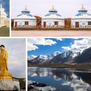
incorporate images and information about nearby soums, settlements, tourist destinations,
natural scenic spots, and historical landmarks.
The Ministry of Road and Transport Development of Mongolia has
announced that this initiative will eventually cover all national and
international highways in Mongolia, with the goal of promoting tourism under
the Government’s "Go Mongolia" Campaign.